
“Risk more than others think is safe.
Care more than others think is wise.
Dream more than others think is practical.
Expect more than others think is possible” – Claude Bissell
Intro
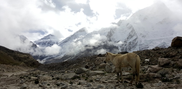
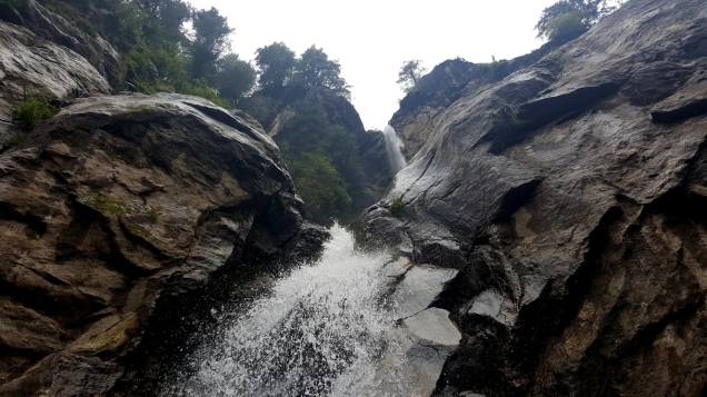
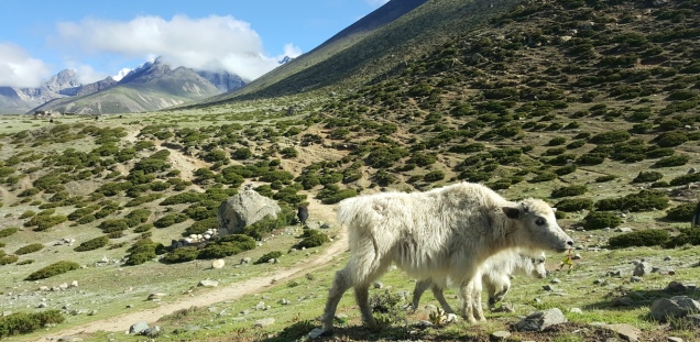
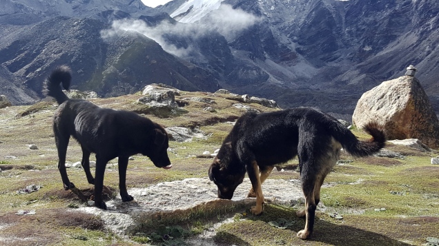
It’s the mountains that choose us not us choosing them. Everest Base Camp was not really there in my checklist. I have Mount Everest in my mind after watching the movie “Everest”. I have google around for Mount Everest summit and came to know that it’s not feasible very soon since it takes around 60 days, minimum of 40K$ and requires solid mountaineering experience of peaks above 7000m. To summit any of the 7000m peaks, it will take minimum 25 days and that also require some prior climbing experience. So plan Mount Everest is put on hold. When I finalised my trip to Mount Kailash, I searched for some trekking options that matches with my schedule. Some agencies from Tibet covers Mount Kailash with Everest Base Camp. But that one is Everest Base Camp on Tibet side and there is a motorable road till there(No need of trekking). That option didn’t workout since Tibetan travel agencies cannot arrange visa for Indians. Then I came across Himalayan wonders team. Their package was tempting, matching my schedule and they responded very quickly. I got a discount as well since I finalised it in a week. There was not much options available other than Himalayan Wonders since it was off-season in EBC (Regular season is from November-December) and I was traveling alone. It was Monsoon season in Everest region, raining often, not too cold, all the waterfalls filled with water(not frozen), different terrains all the way, yaks blocking our way, doggies following us for food,…. not much tourists on the way, leaving the Everest exclusively for us to enjoy.
Itinerary
- Day 1 (27 Jun 2016)
- Kathmandu(1,350m): Arrival Day
- Day 2 (28 Jun 2016)
- Kathmandu to Lukla Flight (2,652m) and Phakding (2,800m) – Walking Distance: 8km
- Day 3 (29 Jun 2016)
- Phakding to Namche Bazaar (3,440m) – Walking Distance: 10-12km
- Day 4 (30 Jun 2016)
- Namche Bazaar : Rest and Acclimatization Day (3,440m)
- Day 5 (01 Jul 2016)
- Namche Bazaar to Tengboche ( 3,870m) – Walking Distance: 10km
- Day 6 (02 Jul 2016)
- Tengboche to Dingboche (4,400m) – Walking Distance: 11km
- Day 7 (03 Jul 2016)
- Dingboche: Rest and Acclimatization Day (4,400m)
- Day 8 (04 Jul 2016)
- Dingboche to Lobuche (4,900m) – Walking Distance: 11-12 km
- Day 9 (05 Jul 2016)
- Lobuche to Gorakshep (5,180m) and Everest Base Camp (5,364m ), EBC to Gorekshep – Walking Distance: 15km
- Day 10 (06 Jul 2016)
- Gorekshep to Kalapathar (5,545m) and Pheriche (4,320m) – Walking distance: 12-13km
- Day 11 (07 Jul 2016)
- Pheriche to Namche (3,440m) – Walking Distance: 15km
- Day 12 (08 Jul 2016)
- Namche to Phakding and Lukla (2,800m) – Walking Distance: 16km
- Day 13 (09 Jul 2016)
- Lukla to Kathmandu (1350m) & Departure – Flight time: 35 min
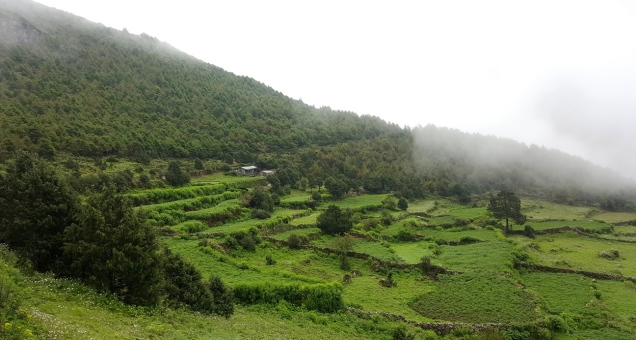
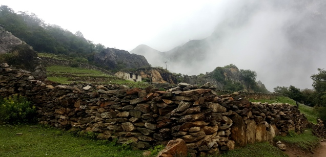
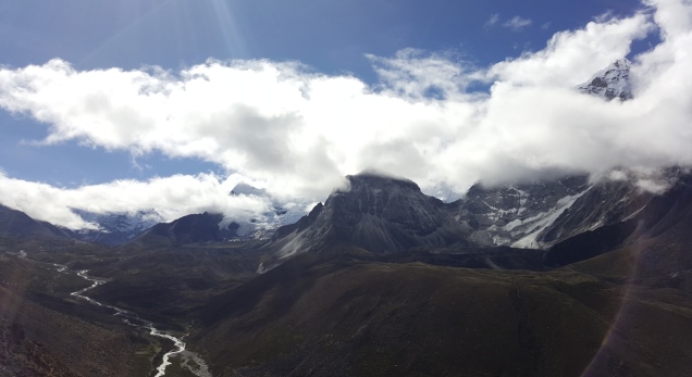
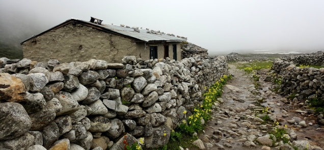
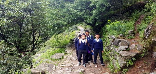
The whole Everest trail was green during our trek because of monsoon. It turned white only when we get close to EBC.
Day 1
I was there in Kathmandu after my Mount Kailash Trip. I met the travel agent at the hotel. He gave me a brief about recent flight delays and flight cancellation in Lukla which is the starting point from EBC. The last group from Himalayan Wonders was stuck in Lukla for a week because of bad weather. If we want to fly out in such situations, we can charter a helicopter for 5k$ or trek for 3 days to get a bus to Kathmandu. He suggested us to go for Annapurna Base camp instead of EBC from where it is possible to come back via road. In the afternoon, we had a group meeting (3 Solo travelers, Me, Another Indian and one Australian) and decided to proceed to Everest Base Camp despite the risk. We purchased some missing gears and cloths for the trek from Kathamndu. All the trekking and climbing equipment of different quality are available in Kathmandu. We packed a duffel bag (~15kg, porters will carry), backpack for the trek and left the remaining stuff in the hotel locker. The flights will fly to Lukla only if the weather is pleasant. If we cannot fly to Lukla in first two days we will have to go to Annapurna Base Camp to finish up the trek in expected time. It’s always advisable to have 2-3 buffer days if you are traveling to Himalayas if you have a mountain flight in your itinerary. The mobile coverage is partial in Everest region. “Ncell” has more coverage compared to “Nepal Telecom” in the Everest region(From experience, I lost network coverage after 2 days).
Day 2
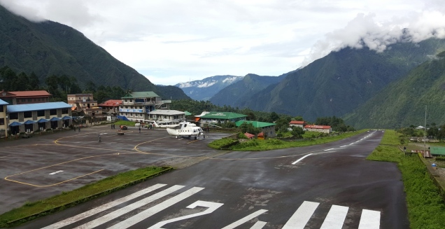
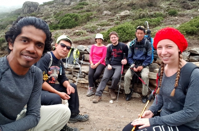
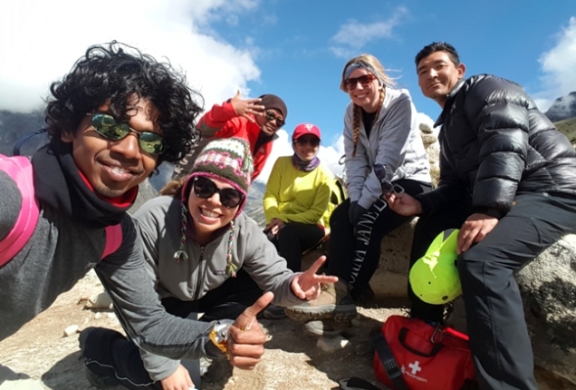
In the morning, we went to Kathmandu airport and checked in our luggage. We got the boarding pass without the time mentioned. The service will start if and only if the weather is alright. Luckily the weather was fine, but as soon as we take off rain started and the sky was too cloudy till Lukla. We doubt whether we will be able to land in Lukla Airport a.k.a. the World’s most dangerous airport because of low visibility(I was not really aware that this airport is called most dangerous until I tried to check in. Then I ask Google as always why and find out). The airport is very simple and will fit in one frame as below. If the pilot can’t stop within that short runway, he will have to hit the mountain to stop the flight. We landed safely, met our guide and porters carry our luggage outside. The guide gave an overall idea about how trek is going to be, what are the expenses not covered as a part of the package, what is altitude sickness, what should we do in case of altitude sickness, what to carry in day pack, how to collect or carry drinking water. Our guide is well experienced and he made it to the top of Mount Everest a couple of times.
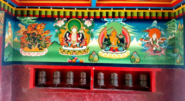
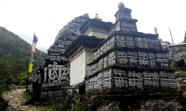
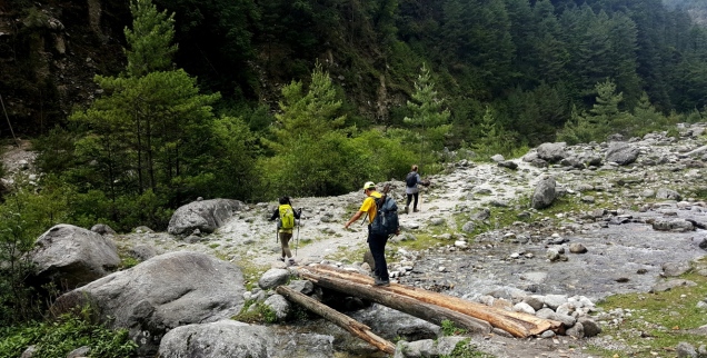
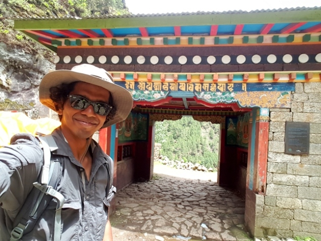
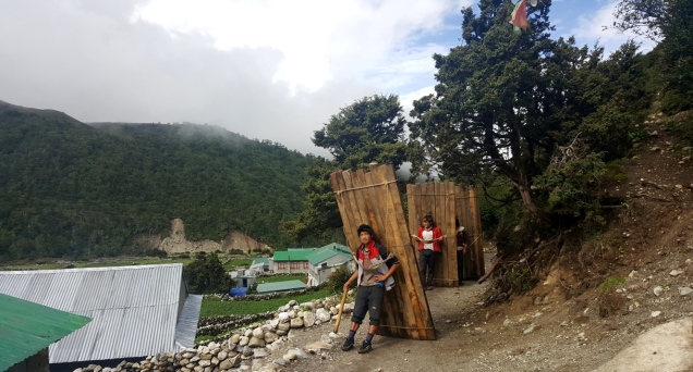
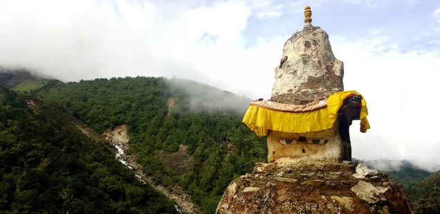
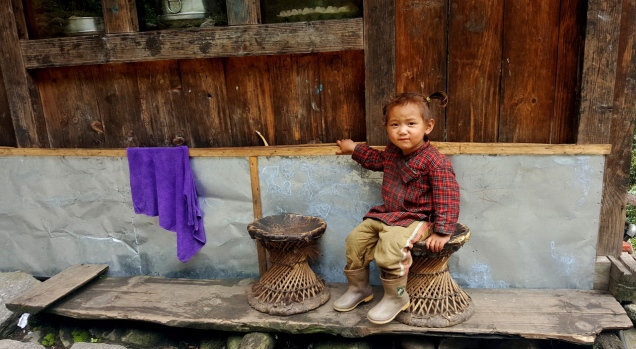
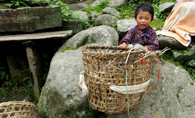
The weather was pleasant despite a bit of drizzle while we were having breakfast. Then we took a group selfie and started our epic trek. The trek started with an easy walk through the village with Buddha Temples, prayer wheels, stupas, waterfalls. Then the trail follows the bank of the Dudh Koshi River until Phakding. We can see people and yaks transporting heavy items on the way. My mobile had network coverage, but WiFi at the guest house was not functional. Most of the guest houses in Everest region were on maintenance since it was off-season. So sometimes all the items in the menu might not be available, WiFi might not be functional or shower will be under maintenance.


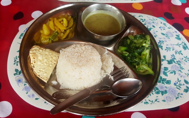
The menu in all guest houses are almost the same with the rates increasing as we go up. For example, 1L water is 50NPR in Lukla and in Gorekshep (highest point we stay during the trek), the same costs us 350NPR. The items in the menu includes different varieties of tea, coffee, oats, omelet, bread/pancake (sometimes) for breakfast. Then Dal Bhat (Nepali lunch includes rice, dal, papad.), Fried rice, pizza (sometimes), noodles for lunch or dinner. Breakfast, lunch and dinner was included in our package and we didn’t face any problem with the food during our whole trek. The distances described in itinerary is the aerial distance. While we trek, there is many ups and down and curves. So we were covering at least 3-5km more than as per itinerary on foot(as per mobile fitness tracker logs).
Day 3
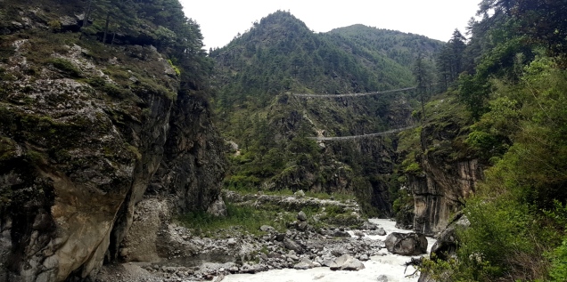
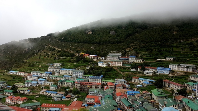
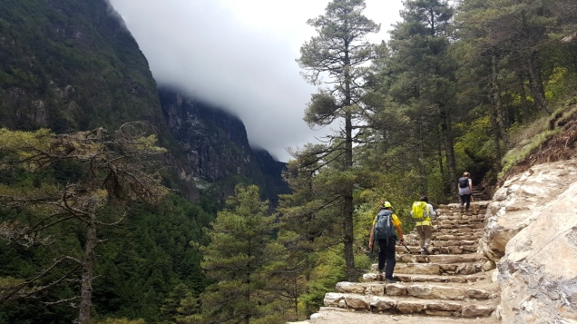
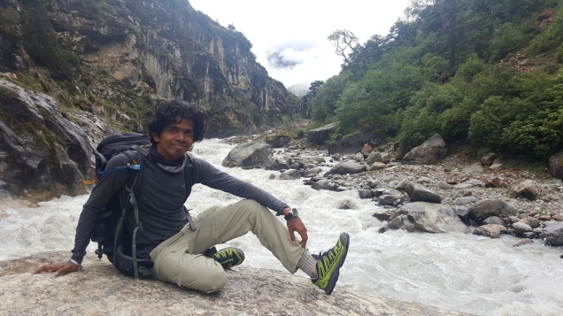
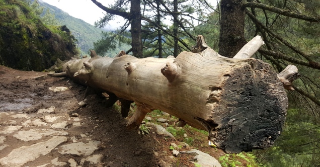
We had breakfast and started walking towards Namche Bazaar. We all wear rain coat since it was raining while we started. Soon I feel very uncomfortable and started to sweat out despite the rain. Then I took of the rain coat and started to enjoy the rain. My guide was scolding me for not wearing the rain coat, because its easy to get sick in cold weather and quite unfamiliar terrain. I hardly us umbrella and rain coat till the end of the trek. I kept both safe in my bag while raining. The trail continues through the bank of Dudh Koshi River via many suspension bridges and a beautiful pine forest. Then we enter to Sagarmatha National Park. There are guards on duty to verify our permits and it was downhill till the lunch place. After lunch, it was uphill again to Namche and on the way we cross Hillary Suspension Bridge. We were supposed to see Everest from Namche Bazaar, but we couldn’t because of the clouds and rain. From Namche we felt the weather is getting cold (as we going up).

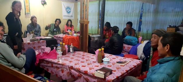
We met some friends from France, US and Australia with their guides over there. They were trekking in a different route so we couldn’t catch them after Namche, except the French guy. We play cards every day at the hotel to relax and kill time after long trek. The card games were random, learned from others instantly (Nepali/French/Australian card games, don’t remember the name of games, but it was more than fun). We took hot shower bath (Hot Shower costs 200NPR) and had dinner. Charging mobile costs 100NPR and WiFi is charged 100NPR per hour or we can purchase WiFi card which depends on the options provided by guest houses (Rates go up as you go up). Namche has so many residential buildings, so there was notwork coverage and WiFi was functional at the guest house. We go to bed around 8 everyday since we have to start trek early morning around 6 depending on the climate.
Day 4
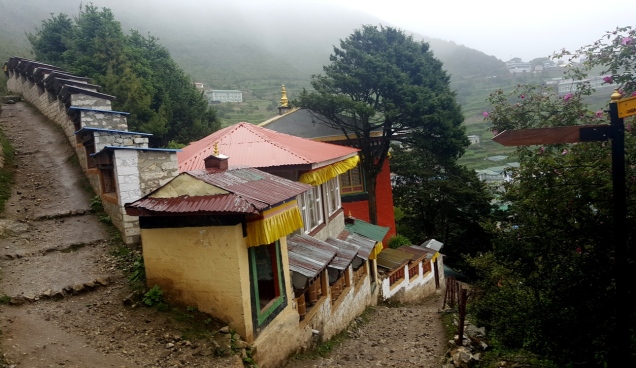
It’s very important to get acclimatized to the high altitude to prevent altitude sickness. So we spent one day in Namche to get familiar with the high altitude. In the afternoon, we trek up to Everest View Point(Here also, we can’t see Everest because of bad weather). There was Sherpa museum for an overview of the Sherpa culture and history of mountaineering. We met our Brazilian friend and her guide over there and they were with us till the end of the trek. I went To Namche Monastery of my own, was not open when I reach there. I didn’t go so far, since it’s easy to get lost there as the buildings look almost similar. All the trekking and mountaineering gears are available here. There is ATM (not functional at this time) and money exchange as well.
Day 5
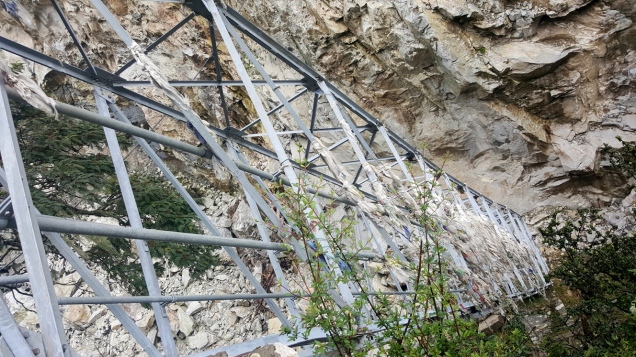
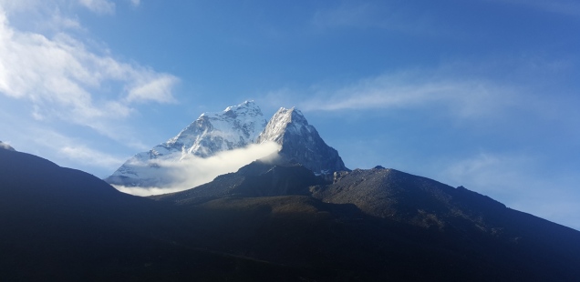
As usual we had breakfast and started the day’s trek towards Tengboche. We had the views of Nuptse, Lhotse, Ama Dablam, Thamserku and Kwangde with Everest hiding behind. On the way we met the old couple who were making the road voluntarily. We made some contribution to their fund. The terrain got tough after the road construction. In the guest house we met two Canadians who were heading back. One of them was sick and they were supposed to get back to Lukla by helicopter. They were frustrated because their travel agent couldn’t arrange the helicopter in time. I lost the network coverage after Namche and WiFi wan not functional here.
Day 6
We visited Tengboche Monastery, one of the oldest in the region. We walk through the rhododendron forest to Deboche followed by a bridge over Imja Khola River. Our guest house was right in front of beautiful Ama Dablum.

Day 7
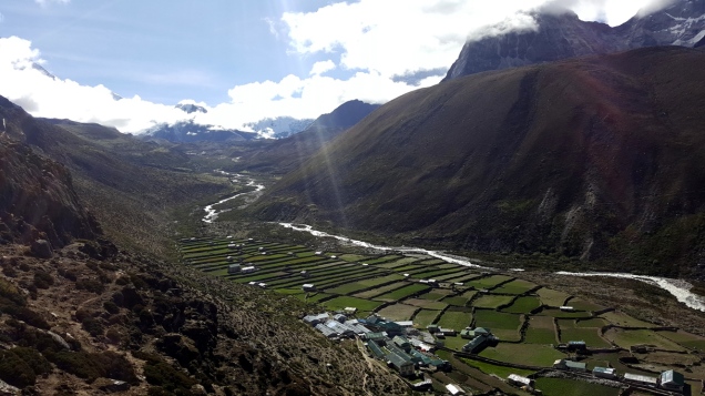
Rest and Acclimatization day at Dingboche. The day started with the view of beautiful Ama Dablum followed by an acclimatization hike. The view of surrounding mountains and the village was beautiful. We three get on the top of a peak nearby (Dol Mari, I guess) for no reason which was ~5300m, while others get back, making the rest day trek day.

Day 8
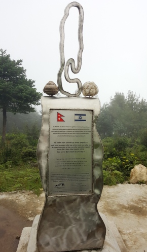
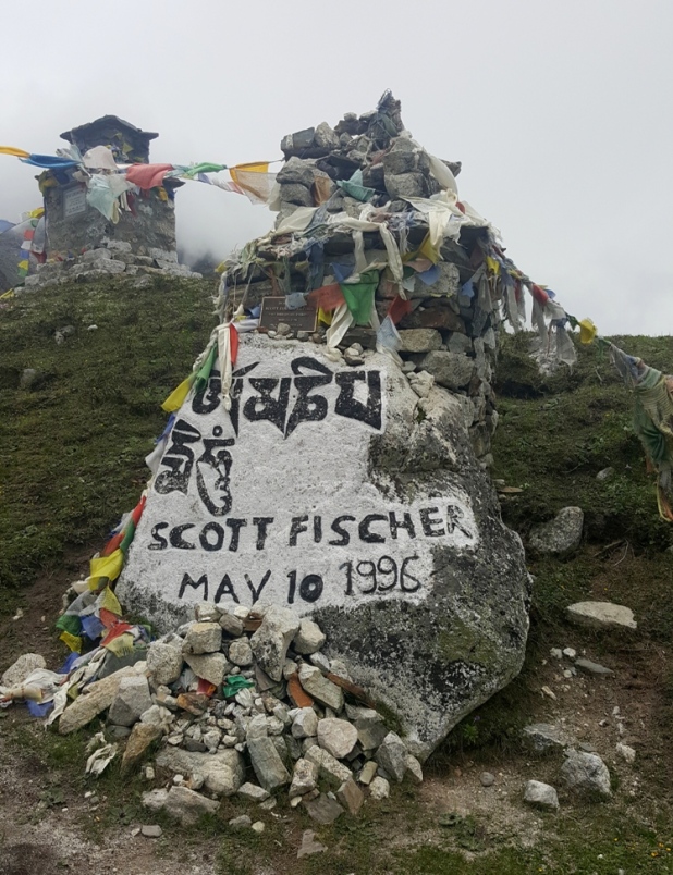
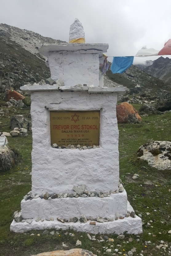
The trek from Dingboche to Lobuche was challenging, due to the higher altitude. After breakfast, we pass through Everest memorial, where we saw the memorial stupas dedicated to the climbers and trekkers who lost their lives to Everest over the years. The ones who inspired us and many and many to do this…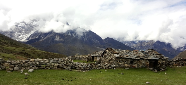
What about spending next vacation there?

Day 9
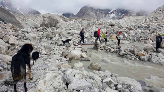
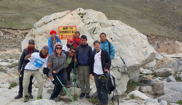
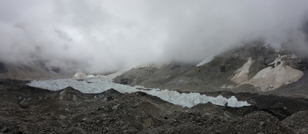
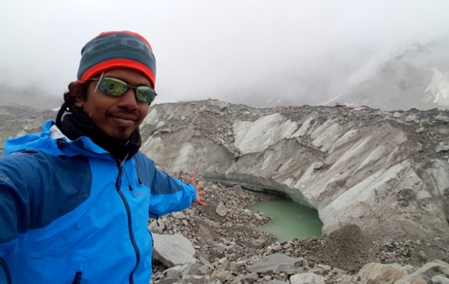
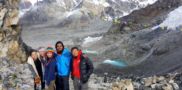
We trek to Gorakshep (5180m) and then to Everest Base Camp (5364m). The trek till Gorekshep was easy and quite long. The trail to Everest Base Camp was really hard with big rocks and uneven trails. The trail to EBC is parallel to Khumbu Glacier and ice fall. Khumbu Glacier is worlds largest glacier. Base camp was empty, since the climbing season was over. Our guide suggested us not to get down since the trail was dangerous and many big rocks were relocated on the way. Everyone almost agreed except me. I said, those who are interested will go as far we can and started walking leaving the guide no choice. He led the way, I followed him and everyone followed us. It was a bit challenging to get close since the glacier was quite unstable because of rain. We can hear the voice of falling ice/rocks from far away. Mount Everest is not visible from EBC because of the peak in front, but I can feel the call from 8878m height. We head back to our guesthouse after our photography session.

Day 10
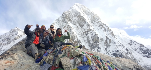
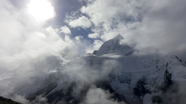
We woke up in the early morning and trek towards Kalapathar (means “black rock”) to watch sunrise over Mt. Everest (Everest will be visible only if the clouds are friendly, early morning is our best chance). The hike was toughest during our whole trek. The oxygen level was also very less. So we have to take break every 10 minutes when we go up. The view from Kalapathar (5,545m) was unbelievable. It was the highest point in the whole trek. Today was the only day we saw Mount Everest clearly. All the other time, Everest was hidden by clouds or high peaks.
After another crazy photography session, we go back to Gorekshep for breakfast and started walking towards Pheriche which is far, far away. We had no WiFi, no shower night at the guest house.
Day 11
Continued walking downhill from the morning, which was easier compared to previous day even it was long still long. We reached Namche in the afternoon and had shower after a few days. We met other friends in the guest house.

Day 12
That feels like never-ending walk, from Namche to Phakding and then to Lukla. Lukla seems like reach with in 15 minutes, but getting far away as we walk. It was raining almost the whole day. I didn’t miss any drop of the rain, every single drop is there on my head. “Some feel the rain, others just get wet”.
Day 13
The situation in Lukla is always the same, the flights won’t take off if the weather is bad (It happens regularly). But fortune favors the brave. Our flight take off on time from the most dangerous airport and landed safely in Kathmandu.

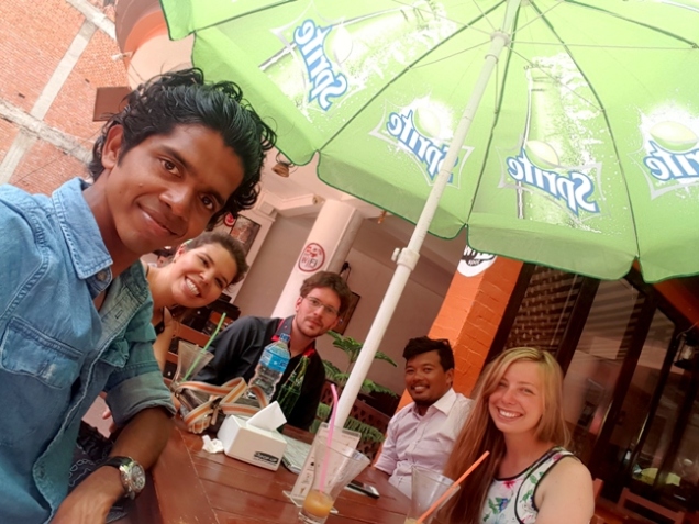
We were a bit bored with the food from the tea houses during our trek. We had a gathering in Kathmandu in a restaurant. I have to skip the farewell dinner, since I rescheduled my ticket for the evening.
Warning : Don’t go to Everest Base Camp as your first trek. If you do, most of the other treks won’t make sense for you. EBC is possible for anyone with decent level of fitness. But don’t underestimate this trek because we saw many people returning halfway even in helicopter. And most important, follow your guide’s guidelines.
If you like my journey, go out, do something better than this… All the best….
Himalayan Plants and Flowers Gallery
I don’t know the name of any of these flowers. Sorry, I am too lazy to name them from the internet.


